
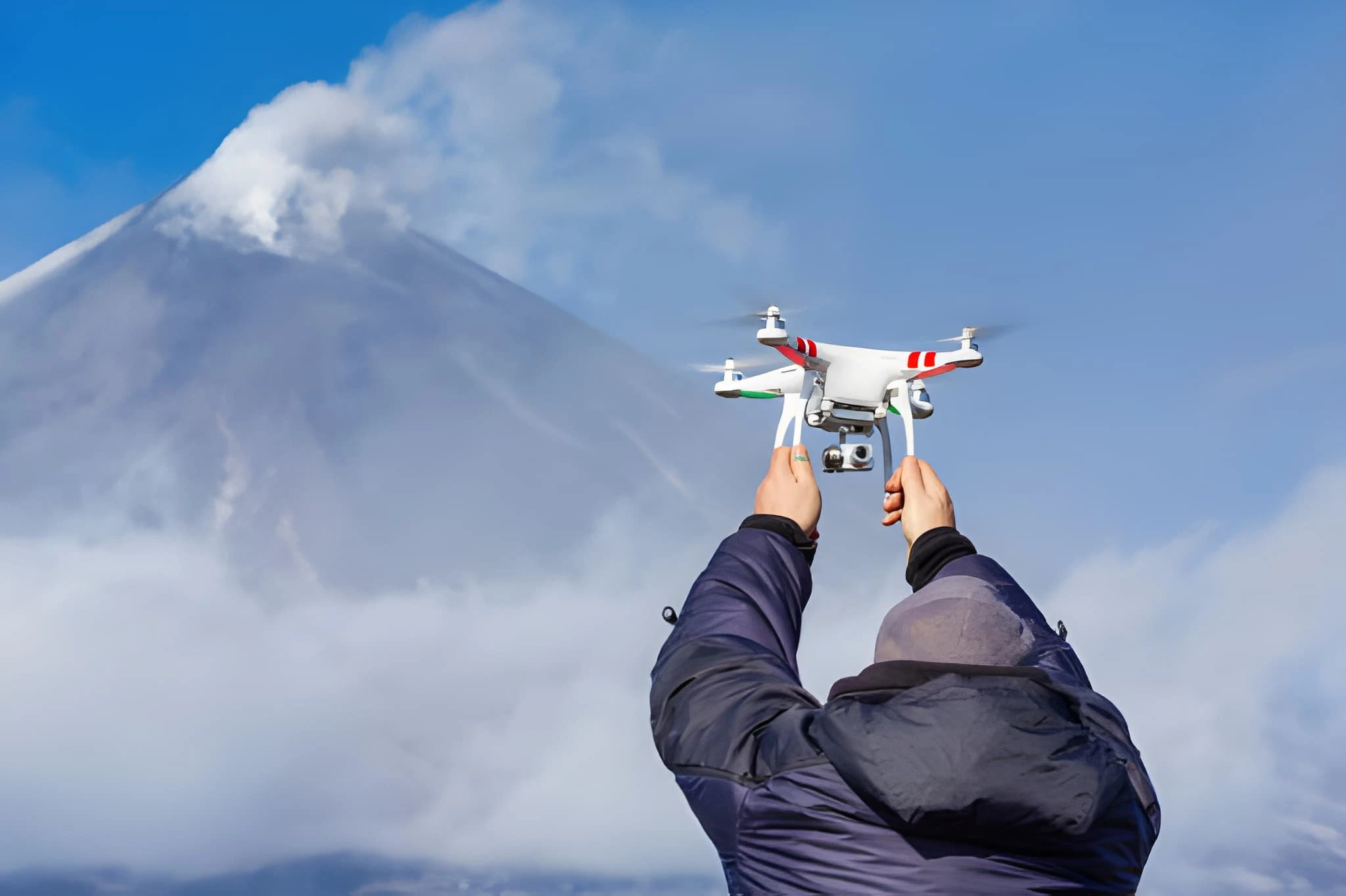
Capture Stunning Aerial Views of Nepal with Drones on Your Himalayan Adventure. Technology has significantly transformed photography and videography. With rapid advancements in science and imaging tools, drones allow travelers and photographers to capture landscapes, mountains, and cultural sites in ways that were impossible with traditional cameras. At Jagadamba Holidays, we help adventurers navigate all rules and safety guidelines for drone use in Nepal, ensuring a seamless and legal experience.
Understanding Drones and Their Uses
A drone is a remotely operated aircraft controlled via radio signals, allowing users to capture wide, elevated, and previously inaccessible perspectives. Drone photography is becoming essential for trekkers, climbers, and content creators.
In Nepal, flying drones is legal but strictly regulated. Operators must follow guidelines from the Civil Aviation Authority of Nepal (CAAN) and the Ministry of Home Affairs (MoHA). Unauthorized drone flights may result in confiscation, fines, or legal action.
All drones weighing more than 250 grams must be registered with CAAN, and most flights require prior permission depending on location, weight, altitude, and purpose.
Drone Regulations in Major Trekking Regions
Travelers with drones must comply with local rules in addition to national regulations. At Jagadamba Holidays, we guide trekkers on acquiring all necessary approvals in key regions:
Everest (Khumbu Region)
- Local permit from Khumbu Pasang Lhamu Rural Municipality
- Restricted flights near Lukla Airport and Namche Bazaar
- Flying inside Sagarmatha National Park requires park approval
- Drones above 120m or near settlements require CAAN authorization
Annapurna Region
- Approval required from ACAP and local municipalities
- Extra caution in busy settlements like Ghandruk, Manang, and Jomsom
- High passes like Thorong La need CAAN compliance
Langtang Region
- Permission from Langtang National Park and local municipalities
- Restricted near military posts and sensitive borders
- Local village rules in Syabrubesi and Kyanjin Gompa
Manaslu Region
- Approvals from MCAP and local municipalities
- Stricter checks due to restricted trekking access
- Flights near Tibetan border require additional security clearance
- Kanchenjunga Region
- Highly regulated due to border proximity
- Permission from local municipalities and KCAP
- Police/army clearance may be required
- CAAN may request a formal flight plan for high-risk zones
Using Drones on Trekking Peaks and Expeditions
- High-altitude trekking and expedition peaks have stricter rules due to airspace, rescue, and safety concerns.
- Trekking Peaks (Mera, Island, Lobuche East, Pisang Peak)
- Approval from local municipalities and conservation areas
- Drones above 120m or over glaciers require CAAN permission
- Must avoid helicopter rescue operations
- High-Altitude Expeditions (7,000m–8,000m peaks like Everest, Lhotse, Makalu)
- MoHA security clearance required
- CAAN high-altitude UAV permit
- Department of Tourism approval for expedition-recorded flights
- Conservation authority licenses from National Parks
Key rules include coordinating with liaison officers, avoiding helicopter routes, and ensuring drone performance at high altitudes. Temporary bans may be imposed during rescue operations or military directives.
Essential Guidelines for Trekkers & Climbers
- At Jagadamba Holidays, we ensure our clients understand:
- Local and conservation area permissions are mandatory
- CAAN registration for drones above 250g
- Security clearance required in sensitive zones
- Avoid flying near airports, military checkpoints, or helicopter rescue areas
- Maintain the standard 120m altitude unless approved by CAAN
Current Guidelines for Drone Operation in Nepal
Drone Registration
- All drones above 250g must be registered with CAAN and issued a Unique Identification Number (UIN)
Altitude & Permissions
- Maximum standard altitude: 120 meters (400 feet) with approvals
- Beyond 120 meters: requires CAAN and government approval
- Drones below 250g follow safety rules but don’t require registration
Area-Based Permissions
- Public spaces need local administrative approval
- Commercial, high-altitude, or sensitive-zone flights require CAAN authorization
- Foreign operators may need MoHA clearance
Exceptions
- Small drones (<250g) in open areas may not require prior approval
- Universities/research institutions must inform local authorities
Restricted and No-Fly Zones
- Drone flights are strictly prohibited near:
- Airports (minimum 5 km radius)
- Government offices (Singha Durbar, President/PM/Vice President offices)
- Security installations (1 km from Nepal Army, 500 m from others)
- Major religious and cultural sites (Swayambhunath, Pashupatinath, Bouddhanath, Budhanilkantha, Kathmandu/Patan/Bhaktapur Durbar Squares, Maitighar Mandala)
- Always confirm temporary restrictions with local authorities.
Safety Tips for Flying Drones in Nepal
- Obtain all required permits before flying
- Avoid crowds, gatherings, and private property
- Respect privacy laws
- Fly during daylight and in good weather
- Maintain visual line of sight (VLOS), recommended up to 500m horizontally
- Keep at least 5 km distance from airports
- Check for drone restrictions at temples, heritage sites, and sensitive zones
- Consider altitude limits—thin air may affect drone performance
Drone Permit Process in Nepal
- Local Approval: Apply at municipality/ward office
- Security Clearance: Police/CDO approval if required
- CAAN Application: Submit registration, flight plan, and ID documents
- Commercial/High-Altitude Flights: CAAN formal permit required
- Foreign Nationals: MoHA approval and customs declaration for imported drones
At Jagadamba Holidays, we guide all our clients through this process to ensure safe, legal, and hassle-free drone use during their Himalayan adventures.